Description
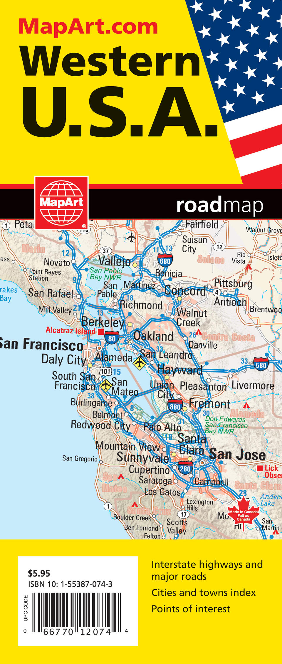
Folded maps have been the trusted standard for years, offering unbeatable accuracy and reliability at a great price. Detailed indices make for quick and easy location of destinations. The folded map of the Western United States contains a map of the Western USA at a scale of 1:2,000,000 and includes the states of California, Oregon, Washington and the western portions of Idaho, Montana and Nevada. Also included are a map legend, points of interest listing and a place name index.
Folded: 10.2 x 23.5 cm (4 x 9.25 inches) Unfolded: 68.6 x 99.7 cm (27 x 39.25 inches)


