Description
Laminated FastTrack maps are durable, convenient, and take all the wear and tear your journey can dish out. The laminated design allows you to mark your route, make notes, then wipe the surface clean for further use. The colour-coded highways and clear exit names make for quick and easy navigation. The map easily folds to display individual sections. This is a must-have for navigation.
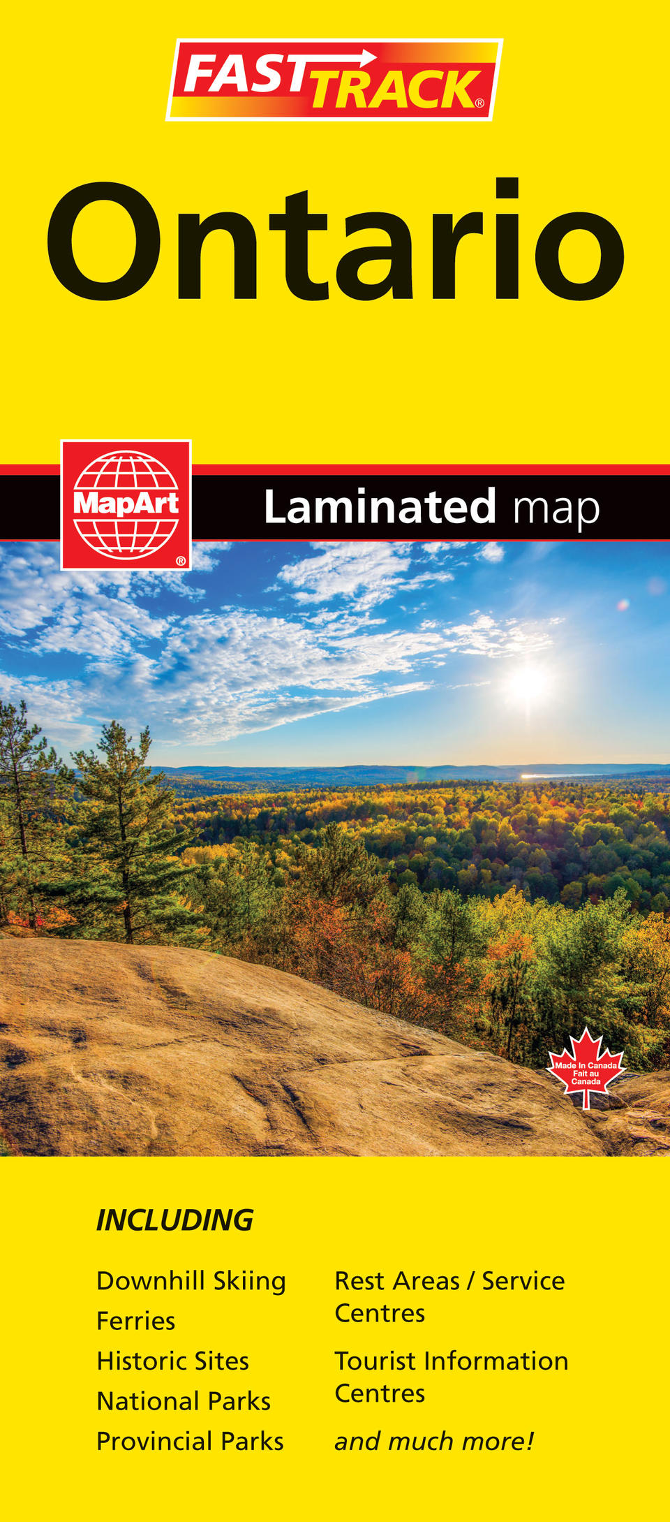
The Ontario FastTrack includes a provincial map of southern Ontario at a scale of 1:890,000, northern Ontario at 1:1,920,000, community name indexes and a map legend.
The provincial map features include Trans-Canada Highway, divided highways, divided toll highways, pave and loose surface major roads, pave and loose surface secondary roads, pave and loose surface other roads, unimproved roads, railroads, distances between points (km), ferries, carpool parking, border crossings, airports, hospitals, tourist information centres, rest areas/service centres, National Defence, international boundaries, provincial boundaries, county/district/regional municipality boundaries, populated places, capitals, National Parks / historic sites, provincial parks, provincial park campgrounds, Indian Reserves and downhill skiing.
Proudly made in Canada!
Folded: 11 x 24.8 cm (4.3125 x 9.75 inches) Unfolded: 65.4 x 49.5 cm (25.75 x 19.5 inches)
Provinces/Territories: Ontario


