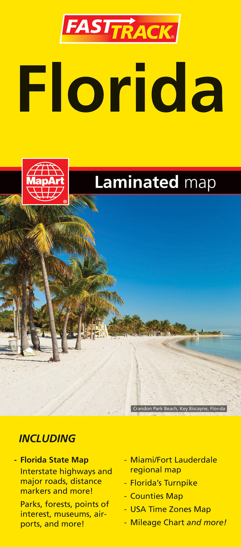
Florida FastTrack Map
- Publisher
- MapArt Publishing Corporation
- Initial publish date
- Dec 2019
- Category
- Atlases
-
Sheet map, folded
- ISBN
- 9781553871774
- Publish Date
- Dec 2019
- List Price
- $7.95
Add it to your shelf
Where to buy it
Description
Laminated Fast Track maps are durable, convenient, and take all the wear and tear your journey can dish out. The laminated design allows you to mark your route, make notes, then wipe the surface clean for further use. The colour-coded highways and clear exit names make for quick and easy navigation. The map easily folds to display individual sections. This is a must-have for navigation.
The Florida FastTrack includes a map of the State of Florida at 1:1,200,000, map legend, community index, regional map of Miami area at 1:250,000, the Florida Turnpike map and information, Florida counties and USA Time Zones and a Florida mileage chart.
The state map features include populations, national and state boundaries, interstate highways and express routes, multilane highways, highways, state highways, roads under construction, other roads, toll roads, railways, distance markers, international airports, national airports, bird sanctuaries, nature reserves, points of interest, museums, archeological places, amusement parks, forts, lighthouses, battlefields, mines, zoos, botanical gardens, lakes/swamps, mangroves, prohibited areas, Indian reservations, state/national parks, national forests, national wildlife refuges and national marine sanctuaries.
Folded: 11 x 24.8 cm (4.3125 x 9.75 inches) Unfolded: 65.4 x 49.5 cm (25.75 x 19.5 inches)


