Description
Ontario has a rich, varied, and still expanding inheritance of maps. Many of these are attractive works of art, but they are also historical documents, records of the aspirations and achievements of the people of Ontario. Some are a representation of facts on the ground, others a setting down of future plans. They reflect the knowledge and the understanding, not always accurate, of each generation about the environment; they were and are often the basis for important decisions on matters of economic, military, and political policy. The techniques used to produce maps of Ontario in Europe or in the province and their general appearance and arrangement reflect the cultural values, the interests, and the technological skills of those who commissioned, conceived, and drew them.
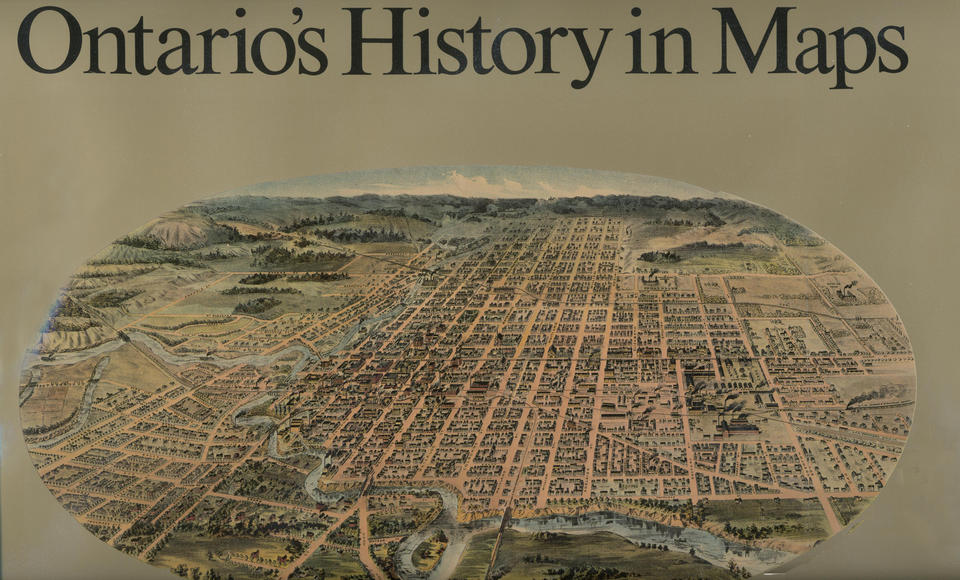
For this volume the authors have selected nearly three hundred maps, which, combined with an ample explanatory text and informative captions, present a unique graphic history of Ontario from its discovery by European explorers to the present. The text and maps trace the development of the province as recorded in the earliest European manuscript and printed maps of the area, through the fine watercolour maps of the Simcoe era, to nineteenth- and twentieth-century maps documenting the process of settlement and the search for and use of mineral and forest resources. Military road maps, maps of canals and railroads, highway maps, and maps illustrating the planning and development of urban areas show vividly how the people of Ontario have imposed intricate patterns of control and use on a vast land.
Approximately half the maps are in full colour. The volume includes an extensive cartobibliographical essay by Joan Winearls for those who wish to learn more about our legacy in this area.
Ontario's History in Maps is an outstanding example of contemporary methods of map reproduction, and a work which combines effectively the insights of historical geography and cartography.
About the authors
R. Louis Gentilcore is Professor of Geography at McMaster University in Hamilton. His research interest for many years has been in the historical geography of Canada, with particular emphasis on settlement development in eastern Canada in the nineteenth century.


