Toronto Wall Map
- Publisher
- MapArt Publishing Corporation
- Initial publish date
- Jun 2018
- Category
- Atlases
-
Sheet map, rolled
- ISBN
- 9781551985275
- Publish Date
- Jun 2018
- List Price
- $99.95
Add it to your shelf
Where to buy it
Description
Laminated wall maps are ideal for the office, home or the classroom.
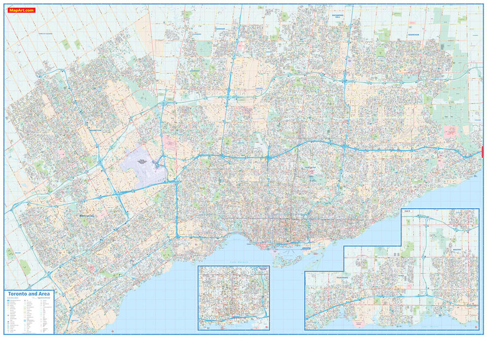
Colourful laminated wall map of Toronto and Area features detailed city mapping of the Toronto area from Mississauga to Whitby and north to Richmond Hill at a scale of 1:32,500, a downtown map of Toronto at 1:18,000 and a city legend.
The detailed city map features include divided highway with collector lanes, divided highways, divided toll highways, major roads, secondary roads, main thoroughfares, minor streets, lanes / private streets, pedestrian streets, interchange numbers, one way streets, street address numbers, railways, VIA Rail stations, GO Train stations, Union Pearson Express stations, subway stations, LRT stations, transitways / stations, bus stations, ferries, carpool parking, municipal boundaries, recreation trails, parks / conservation areas, golf courses, commercial areas, cemeteries, institutional areas, industrial areas, special attraction areas, hospitals, tourist information centres, police stations, fire halls, libraries, points of interest, liquor stores, beer stores, national historic sites, arenas, community / recreation centres, pools, baseball, soccer, tennis, skiing, campgrounds and public and catholic schools.
Proudly made in Canada!
Rolled: 4.76 x 132 cm (1.875 x 52 inches) Unrolled: 1.9 x 1.3 metres (6.25 x 4.3 feet)
Provinces/Territories: Ontario


