Southeastern British Columbia Folded Map
- Publisher
- MapArt Publishing Corporation
- Initial publish date
- Jan 2020
- Category
- Atlases
-
Sheet map, folded
- ISBN
- 9781553686934
- Publish Date
- Jan 2020
- List Price
- $5.95
Add it to your shelf
Where to buy it
Description
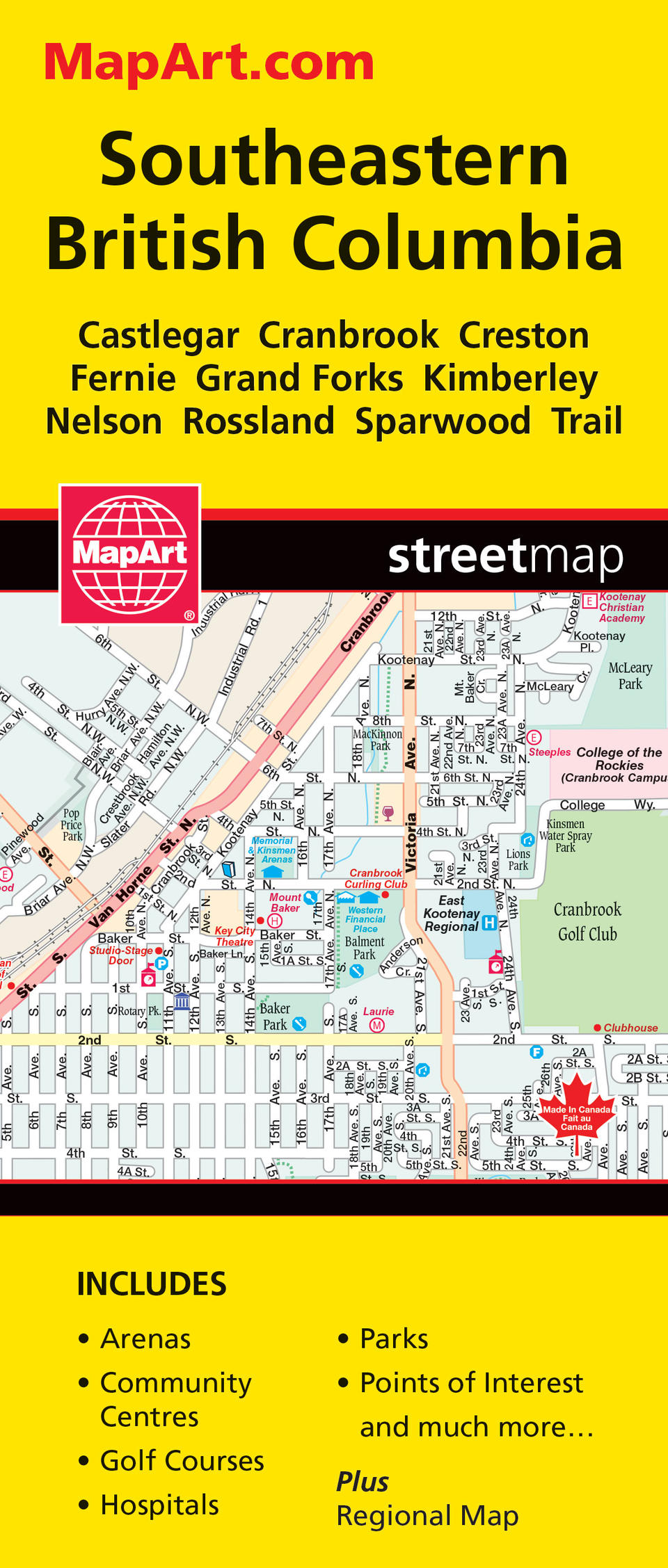
Folded maps have been the trusted standard for years, offering unbeatable accuracy and reliability at a great price. Detailed indices make for quick and easy location of destinations. It's a must-have for anyone travelling in the southeastern British Columbia area. The Southeastern British Columbia folded map includes detailed city mapping at 1:25,000 of Castlegar, Cranbrook, Creston, Fernie, Grand Forks, Kimberley, Nelson, Rossland, Sparwood and Trail. A city map legend and street indexes of each community is included as well as a regional map of southeastern British Columbia at 1: 271,000 along with community index and regional map legend. City map features include major roads, secondary roads, main thoroughfares, minor streets, lanes / private streets, one way streets, railways, border crossings, international boundaries, municipal boundaries, recreation trails, parks / conservation areas, golf courses, commercial areas, cemeteries, institutional areas, industrial areas, special attraction areas, Indian reserves, hospitals, tourist information centres, police stations, fire halls, municipal / regional buildings, courthouses, libraries, points of interest, beer stores, liquor stores, casinos, arenas, community / recreation centres, pools, baseball, soccer, tennis, skiing, campgrounds, public and independent schools. The regional map features include primary highways, secondary highways, unpaved secondary highways, paved and gravel roads, unimproved roads, railways, ferries, airports, hospitals, RCMP, customs, tourist information centres, campgrounds, lookouts/viewpoints, rest areas, points of interest, skiing, golf, peaks, beaches, boat launches, marinas, wharfs, waterfalls, rapids, hiking trails, time zones, boundaries, national parks, provincial parks, ecological reserves, Indian reserves, glaciers, populations and more. Proudly made in Canada!
Folded: 10.2 x 23.5 cm (4 x 9.25 inches) Unfolded: 68.6 x 99.7 cm (27 x 39.25 inches)
Provinces/Territories: British Columbia


