Saskatchewan Back Road Atlas
- Publisher
- MapArt Publishing Corporation
- Initial publish date
- Feb 2014
- Category
- Atlases
-
Book
- ISBN
- 9781554861057
- Publish Date
- Feb 2014
- List Price
- $19.95
Add it to your shelf
Where to buy it
Description
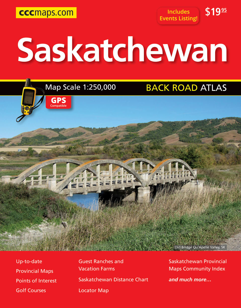
It’s the definitive auto companion for travel in this area, whether you are a resident or short-term visitor. It’s got all the features to make even the unfamiliar areas easy to navigate. Inside this 312 page atlas you will find back road maps (1:250,000), map legend, key maps, Saskatchewan distance chart, Saskatchewan park index, community and road indexes. The regional maps features include divided highways, highways, secondary highways, unpaved highways, unpaved secondary highways, paved and unpaved roads, unimproved roads, winter roads, railways, ferries, international boundaries, municipal boundaries, airports, seaplane bases, hospitals, tourist information centres, guest ranch/ vacation farms, National Historic sites, points of interest, campgrounds, rest areas, skiing, golf courses, customs, RCMP, peaks, small parks, lookouts/towers, oil/gas fields, mines, waterfalls, rapids, bird sanctuaries, national parks, provincial parks, other parks and protected areas, Indian Reserves, wetlands and National Defence. Wire-O bound Proudly made in Canada!
22 x 27.6 cm (8.5 x 10.875 inches)
Provinces/Territories: Saskatchewan


