Description
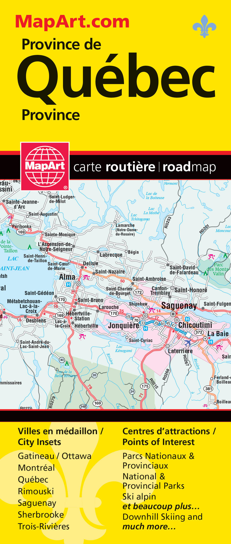
Folded maps have been the trusted standard for years, offering unbeatable accuracy and reliability at a great price. Detailed indices make for quick and easy location of destinations. It’s a must-have for anyone travelling, working and living in the province of Québec. The Québec Province folded map includes a detailed provincial road map of Québec Sud at 1:500,000, Gaspé at 1:1,000,000, Québec province at 1:10,000,000, community index, legend, municipal maps of Rimouski (1:50,000), Saguenay (1:100,000), Sherbrooke (1:175,000), Trois-Rivières (1:75,000), regional maps at 1:200,000 of Gatineau/Ottawa, Montréal, Québec, and a Québec province distance chart. The detailed provincial map features include autoroute, undivided roads, trans-canada highway, paved and loose surface major roads, divided roads, paved and loose surface secondary roads, paved and loose surface other roads, unimproved roads, railways, distance between points (km), ferries, customs offices, major airports, hospitals, tourist information centres, international boundaries, provincial boundaries, populations, provincial capitals, national parks / historic sites, provincial parks, wilderness reserves, campgrounds, downhill skiing, picnic sites / service centres and more. Proudly made in Canada!
Folded: 10.2 x 23.5 cm (4 x 9.25 inches) Unfolded: 68.6 x 99.7 cm (27 x 39.25 inches)
Provinces/Territories: Quebec


