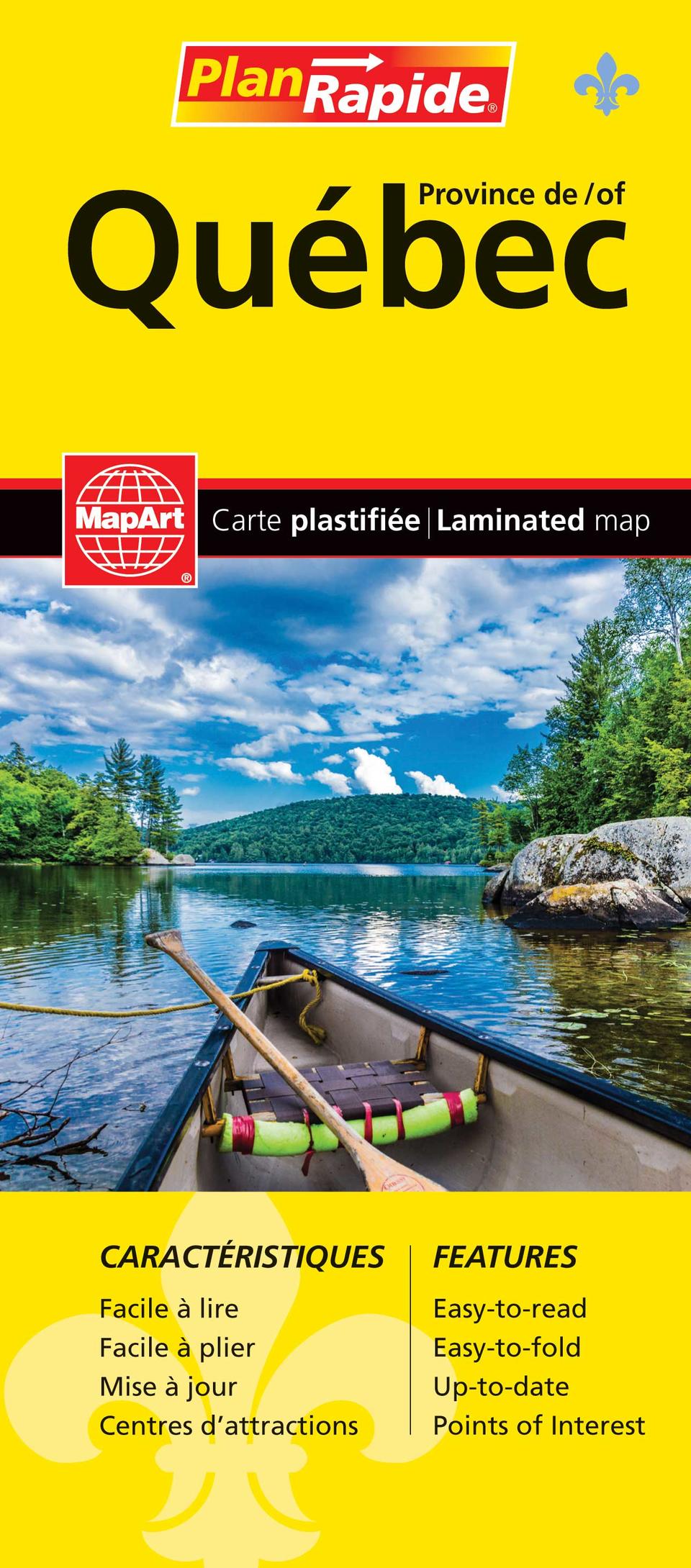
Québec Province FastTrack Map
- Publisher
- MapArt Publishing Corporation
- Initial publish date
- Jun 2019
- Category
- Atlases
-
Sheet map, folded
- ISBN
- 9781554860388
- Publish Date
- Jun 2019
- List Price
- $7.95
Add it to your shelf
Where to buy it
Description
Laminated FastTrack maps are durable, convenient, and take all the wear and tear your journey can dish out. The laminated design allows you to mark your route, make notes, then wipe the surface clean for further use. The colour-coded highways and clear exit names make for quick and easy navigation. The map easily folds to display individual sections. This is a must-have for navigation.
The Québec Province FastTrack includes provincial maps at 1:1,365,000, 1:588,000, and the full province of Québec at a scale of 1:12,660,000. A map legend and community name index are also included.
The provincial map features include divided highways, Trans-Canada Highway, paved and loose surface major roads, paved and loose surface secondary roads, paved and loose surface other roads, unimproved/forestry roads, railways, distances between points (km), ferries, customs offices, airports, hospitals, tourist information centres, international boundaries, provincial boundaries, national parks / historic sites, provincial parks, wilderness reserves, campgrounds, downhill skiing, picnic sites and service centres.
Proudly made in Canada!
Folded: 11 x 24.8 cm (4.3125 x 9.75 inches) Unfolded: 65.4 x 49.5 cm (25.75 x 19.5 inches)
Provinces/Territories: Quebec


