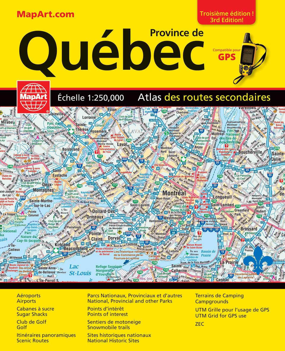
Quebec Province Back Road Atlas
- Publisher
- MapArt Publishing Corporation
- Initial publish date
- Apr 2019
- Category
- Atlases
-
Book
- ISBN
- 9781551984469
- Publish Date
- Apr 2019
- List Price
- $19.95
Add it to your shelf
Where to buy it
Description
It’s the definitive auto companion for travel in this area, whether you are a resident or short-term visitor. It’s got all the features to make even the unfamiliar areas easy to navigate. Inside this 272 page atlas you will find back road maps (1:250,000), locator maps, Québec tourist regions map, Québec distance chart, scenic routes, community index and road index. The regional maps features include expressways, interchanges, exit numbers, toll bridges, primary highways, secondary highways, unpaved highways, feeder roads, paved roads, unpaved roads, unimproved roads, seasonal roads, airports, VIA Rail stations, railways, ferries, locks, lock numbers, Québec police, OPP, hospitals, customs, service centres, tourist information centres, rest areas, skiing, golf courses, wharfs, boat launch ramps, marinas, points of interest, landmarks, sugar shacks, snowmobile trails, scenic routes, Trans-Canada Trail, campgrounds, UNESCO World Heritage sites, National Historic sites, bird watching, viewpoints/lookouts, lighthouses, boundaries, time zones, rapids, waterfalls, beaches, peaks, national parks, provincial parks, conservation areas, bird sanctuaries, National Defence, Indian reserves, populations and more. Wire-O bound Proudly made in Canada!
21.6 x 26.7 cm (8.5 x 10.5 inches)
Provinces/Territories: Quebec


