North Bay Timmins Folded Map
- Publisher
- MapArt Publishing Corporation
- Initial publish date
- Oct 2018
- Category
- Atlases
-
Sheet map, folded
- ISBN
- 9781554861903
- Publish Date
- Oct 2018
- List Price
- $5.95
Add it to your shelf
Where to buy it
Description
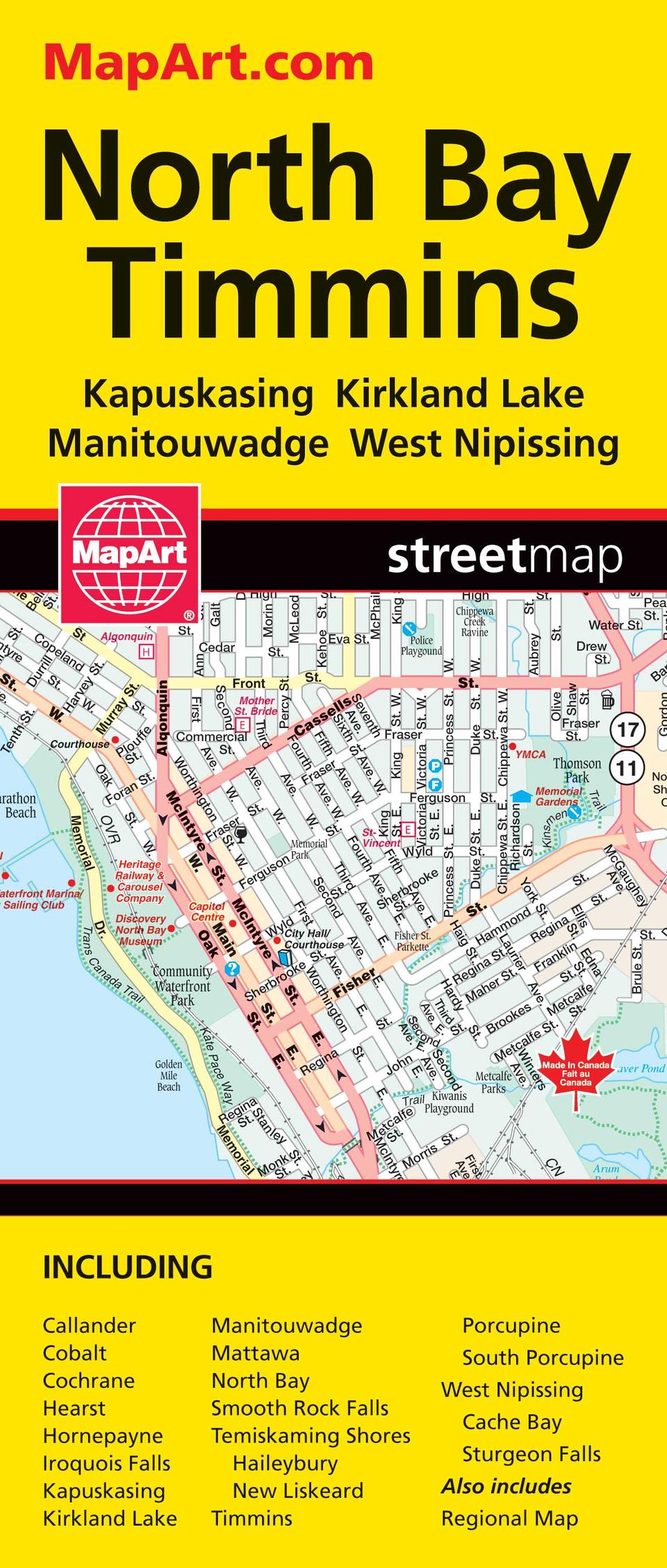
Folded maps have been the trusted standard for years, offering unbeatable accuracy and reliability at a great price. Detailed indices make for quick and easy location of destinations. It’s a must-have for anyone travelling, working and living in the North Bay and Timmins areas. The folded map of North Bay / Timmins includes detailed city mapping at 1:25,000 of Callander, Cobalt, Cochrane, Hearst, Hornepayne, Iroquois Falls, Kapuskasing, Kirkland Lake, Manitouwadge, Mattawa, North Bay, Smooth Rock Falls, Temiskaming Shores (Haileybury)(New Liskeard), Timmins (Porcupine)(South Porcupine), West Nipissing (Cache Bay)(Sturgeon Falls), street indexes of each community, legend and a regional map at 1:2,400,000. The detailed city map features include divided highways, major roads, secondary roads, main thoroughfares, minor streets, lanes / private streets, interchange numbers, one way streets, Trans-Canada highway, railways, train stations, VIA Rail stations, bus stations, provincial boundaries, municipal boundaries, recreation trails, parks / conservation areas, golf courses, commercial areas, cemeteries, institutional areas, industrial areas, special attraction areas, National Defence, hospitals, tourist information centres, police stations, fire halls, libraries, points of interest, beer stores, liquor stores, arenas, community / recreation centres, pools, baseball, soccer, tennis, campgrounds, skiing, public schools and catholic schools. Proudly made in Canada!
Folded: 10.2 x 23.5 cm (4 x 9.25 inches) Unfolded: 68.6 x 99.7 cm (27 x 39.25 inches)
Provinces/Territories: Ontario


