Manitoba Saskatchewan Wall Map
- Publisher
- MapArt Publishing Corporation
- Initial publish date
- Feb 2019
- Category
- Atlases
-
Sheet map, rolled
- ISBN
- 9781553686675
- Publish Date
- Feb 2019
- List Price
- $49.95
Add it to your shelf
Where to buy it
Description
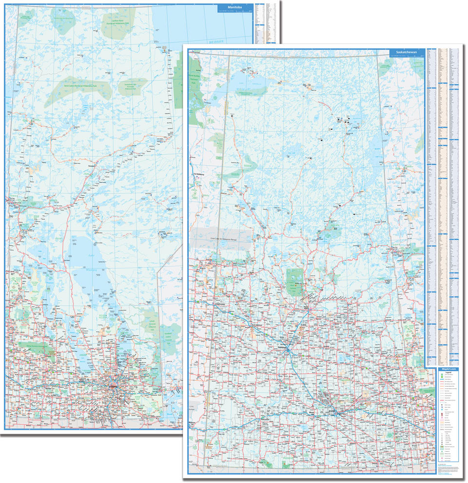
The ideal tool for business or just great wall decor.
Colourful, large scale, easy-to-read, laminated, double-sided wall map of Manitoba and Saskatchewan includes provincial maps of Manitoba and Saskatchewan at a scale of 1:850,000, community name indexes and map legends are also included.
The provincial map features include the Trans-Canada Highway, Yellowhead Route , divided highways, paved and loose surface main highways, paved and loose secondary highways, paved and loose roads, unimproved roads, seasonal roads, distances between points (km), ferries, border crossings, airports, hospitals, tourist information centres, rest areas, built up areas, Indian Reserves, National Defence, international boundaries, provincial boundaries, populated places, provincial capitals, national parks / historic sites, provincial parks, campgrounds, wilderness areas, provincial forests, downhill skiings and points of interest.
Proudly made in Canada!
Rolled: 4.45 x 98.4 cm (1.75 x 38.75 inches) Unrolled: 97 x 150 cm (38 x 59 inches)
Provinces/Territories: Manitoba, Saskatchewan


