Manitoba Back Roads Folded Map
- Publisher
- MapArt Publishing Corporation
- Initial publish date
- Jan 2021
- Category
- Atlases
-
Sheet map, folded
- ISBN
- 9781554861729
- Publish Date
- Jan 2021
- List Price
- $5.95
Add it to your shelf
Where to buy it
Description
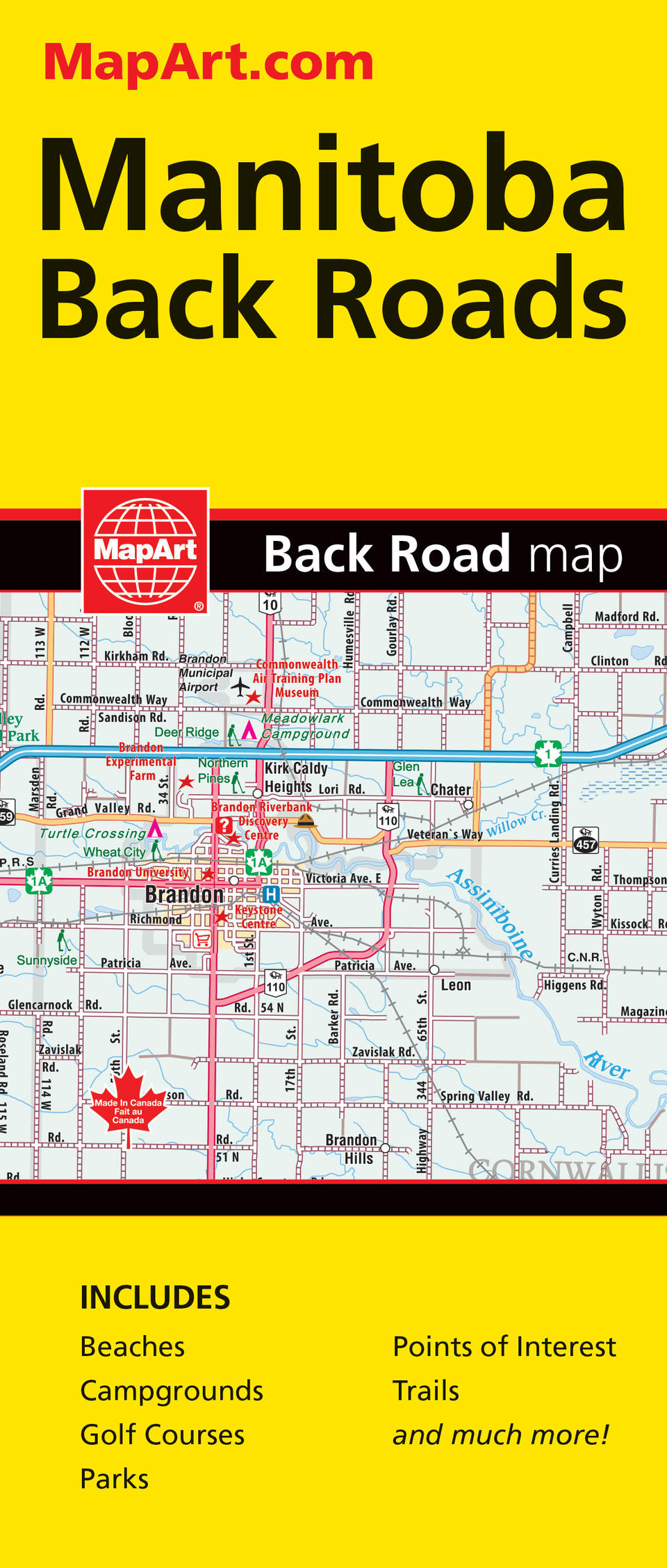
Folded maps have been the trusted standard for years, offering unbeatable accuracy and reliability at a great price. Detailed indices make for quick and easy location of destinations. It's a must-have for anyone travelling in the southern area of Manitoba. The Manitoba Back Roads folded map includes detailed regional mapping at 1:250,000 of the Brandon area, cottage country area and the Winnipeg area along with a community index, road index and map legend. A downtown city map of Winnipeg at 1:20,000 is also included. The regional map features include multi-lane/divided highways, primary highways, secondary highways, unpaved highways, Winnipeg City Route, paved and unpaved roads, unimproved roads, seasonal roads, Trans-Canada highway, airports, VIA Rail stations, railways, RMCP, hospitals, customs, tourist information centres, rest areas, skiing, mountain biking, golf courses, boat launches, marinas, points of interest, trails, campgrounds, National Historic sites, rapids, waterfalls, beaches, peaks, boundaries, national parks, provincial parks, protected areas, bird sanctuaries, National Defence, Native reserves, populations and more. Proudly made in Canada!
Folded: 10.2 x 23.5 cm (4 x 9.25 inches) Unfolded: 68.6 x 99.7 cm (27 x 39.25 inches)
Provinces/Territories: Manitoba


