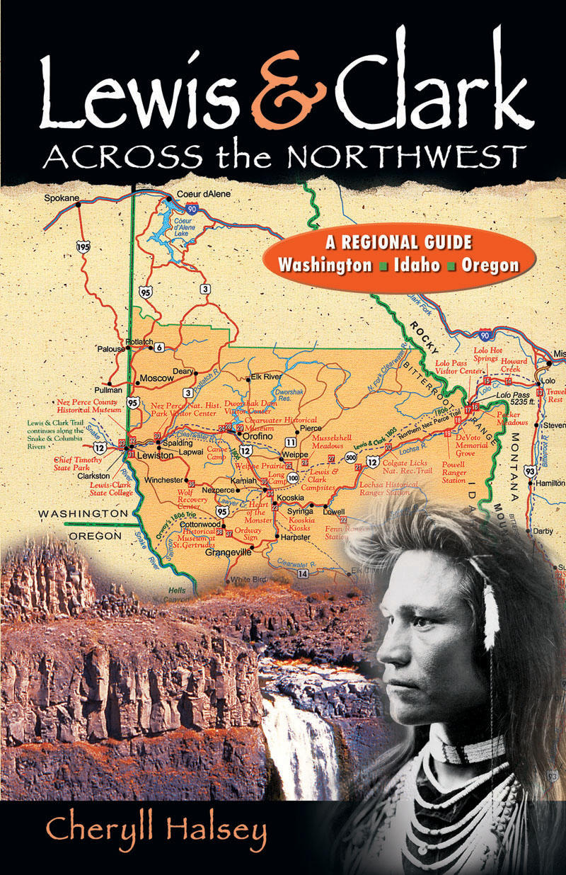
Lewis & Clark Across the Northwest
A Regional Guide: Washington, Idaho, Oregon
- Publisher
- Hancock House
- Initial publish date
- May 2006
- Category
- New England
-
Paperback / softback
- ISBN
- 9780888395603
- Publish Date
- May 2006
- List Price
- $12.95
Add it to your shelf
Where to buy it
Description
A historical and regional guide for following the path of the Lewis and Clark Expedition across present-day Washington, Oregon and Idaho. It covers the region from Lolo Pass in the Bitterroot Mountains to the mouth of the Columbia River at the Pacific Ocean. The chapters in this book are organized to represent different segments of the route followed by the Corps of Discovery. Each chapter contains a trail guide which points out actual sites of camps and significant events and landmarks experienced during the expedition. There are also regional places of interest and sightseeing opportunities listed, along with maps and directions. There is an epilogue that offers a brief profile of the rest of Lewis and Clark's lives. At the end of the book you will find a description of the plants and animals the explorers catalogued as they traveled across the northwest. There is also a bibliography and an index. The chapters in this book are organized to represent different segments of the route followed by the Corps of Discovery across Idaho, Washington and Oregon. The first chapter describes their crossing of the Continental Divide-three times on the way west-as they looked for the most practical route. This was the most grueling terrain they encountered on the entire trip and it was their introduction to the northwest. At this point they met with Shoshone Indians to trade for horses and found that Sacagawea, the young wife of their French interpreter, was a sister to the chief. She had been captured as a young girl and now returned home as a member of the expedition. Chapter two describes another dramatic event involving an Indian woman, the Nez Perce Wetxuiis, who was never mentioned in the journals of the expedition, but who may have saved the lives of the starving and exhausted white men. The Nez Perce proved to be stalwart friends who shared food, knowledge of the country, and dugout canoe construction so the Corps could continue on toward the ocean. Chapter three focuses on reaching the Columbia River, the Big River, a critical milestone that they hoped would take them swiftly and easily to the Pacific. They met more friendly tribes there and joined them in feasts of salmon. Chapter four describes the explorers' encounter with the Chinookan Traders at Celilo Falls, the Great Falls of the Columbia, where they entered yet another world in the culture of Northwest Indians. Here they were faced with the sophisticated center of trade for the Pacific Plateau Trade System. Tribes from downriver came to trade and meet with those from the eastern plateau region of the northwest. The Corps entered the spectacular Columbia River Gorge, navigated dangerous rapids in dugout canoes and survived to continue onward downstream. Chapter five covers a grueling 150 miles downstream from the beginning of tidal influence to the Pacific Ocean. Battered by storms and tides, this relatively short distance was anything but a downstream float trip. However, they did plant the flag for the United States on the northern shore of the Columbia River, near the ocean, and thus staked a claim to the northwest. This done, they immediately made plans to pass the winter in a sheltered spot on the south shore and made their way across the river to build a stockade they called Fort Clatsop. The winter passed there is covered in chapter six. They brought journals and maps up to date, hunted, made moccasins, and traded with their Indian neighbors. Chapter seven is an account of their homeward journey east-now up the Columbia. They portaged around rapids and, finally, took an overland route to the lands of the Nez Perces. Chapter eight describes their reunion with their Indian friends and their stay with them while waiting for the snow to melt enough to open Lolo Pass for their last crossing of the Divide. The book ends with an epilogue and brief profiles of Captains Lewis and Clark, the Shoshone woman Sacagawea, and York, Clark's slave. Each chapter contains a trail guide which points out actual sites of camps and significant events and landmarks experienced during the expedition. There are also regional places of interest and sightseeing opportunities listed, along with maps. One of the directives given to the Captains was to collect information on flora and fauna that might be new to science. They did so with great scientific care and skill. At the end of this book you will find a description of the plants and animals the explorers catalogued as they traveled across the northwest. There is also a bibliography and an index.
About the author
Contributor Notes
For author Cheryll Halsey, the history of immense changes and the expression of those changes through art and culture offer a map of life and the world. As a keen observer with an open and questioning mind, she is always striving to deepen her understanding of history and the cultural and environmental aspects of the world. An Idaho native, Cheryll is a daughter of the west. Her family pioneered, farmed and ranched in Idaho and Washington while they lived with the Nez Perce as neighbors. She lived on the Nez Perce Indian Reservation in Idaho for twenty years and previously authored Lewis and Clark and the Shahaptian-Speaking Americans. A member of the Lewis and Clark Trail Heritage Foundation and an artist, she expresses her commitment to history, to animals and to the environment in portraits of endangered species.