Laurentides Folded Map
- Publisher
- MapArt Publishing Corporation
- Initial publish date
- Jan 2019
- Category
- Atlases
-
Sheet map, folded
- ISBN
- 9781554861163
- Publish Date
- Jan 2019
- List Price
- $5.95
Add it to your shelf
Where to buy it
Description
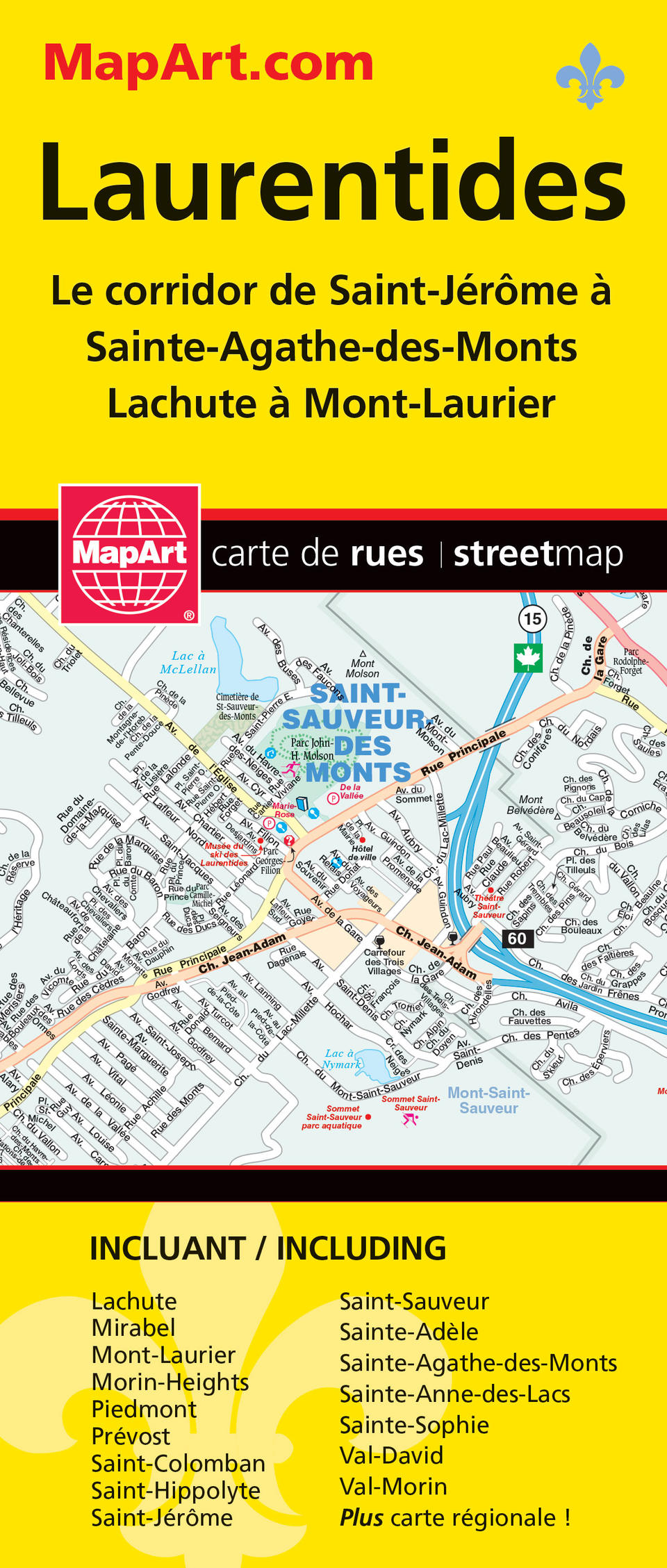
MapArt folded maps have been the trusted standard for years, offering unbeatable accuracy and reliability at a great price. Detailed indices make for quick and easy location of destinations. It’s a must-have for anyone travelling, working or living in the Laurentides area. This folded map includes detailed city maps at 1:31,250 of Mirabel, Morin-Heights, Piedmont, Prévost, Saint-Colomban, Saint-Hippolyte, Saint-Jérôme, Saint-Sauveur, Sainte-Adèle, Sainte-Agathe-des-Monts, Sainte-Anne-des-Lacs, Sainte-Sophie, Val-David, Val-Morin as well as Lachute (1:25,000) and Mont-Laurier (1:25,000) including street indexes of each community and map legend. A regional back roads map at 1:250,000 includes a map legend and community name index. Proudly made in Canada!
Folded: 10.2 x 23.5 cm (4 x 9.25 inches) Unfolded: 68.6 x 99.7 cm (27 x 39.25 inches)
Provinces/Territories: Quebec


