Greater Sudbury Folded Map
- Publisher
- MapArt Publishing Corporation
- Initial publish date
- Mar 2018
- Category
- Atlases
-
Sheet map, folded
- ISBN
- 9781554861354
- Publish Date
- Mar 2018
- List Price
- $5.95
Add it to your shelf
Where to buy it
Description
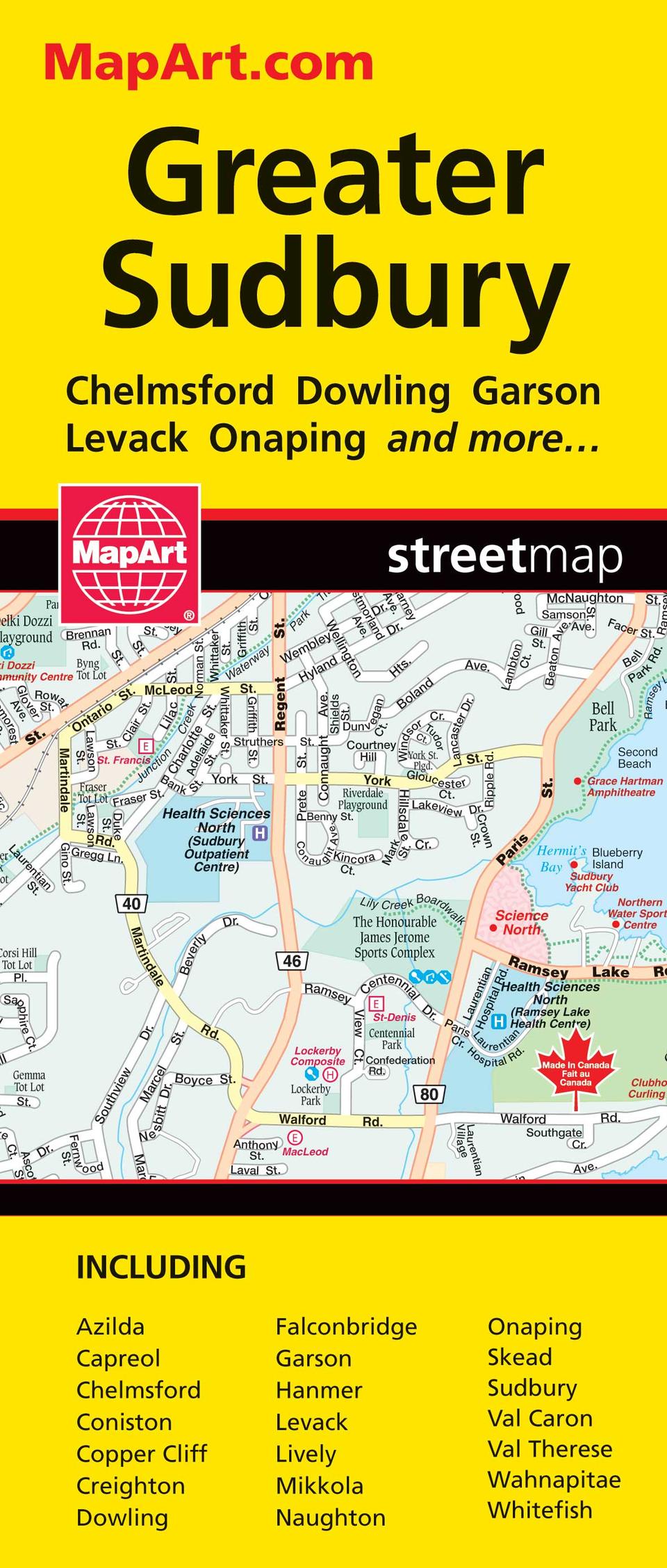
The folded map of Greater Sudbury includes detailed city mapping at 1:25,000 of Azilda, Capreol, Chelmsford, Coniston, Copper Cliff, Creighton, Dowling, Falconbridge, Garson, Hanmer, Levack, Lively, Mikkola, Naughton, Onaping, Skead, Sudbury, Val Caron, Val Therese, Wahnapitae, Whitefish, street indexes of each community, legend and a regional map at 1:250,000. The detailed city mapping features include divided highways, major roads, secondary roads, main thoroughfares, minor streets, lanes / private streets, one way streets, trans-canada highway, road numbers, railways, VIA Rail stations, bus stations, municipal boundaries, recreation trails, park / conservation areas, golf courses, commercial areas, cemeteries, institutional areas, industrial areas, Indian reserves, hospitals, tourist information centres, police stations, fire halls, libraries, points of interest, beer stores, liquor stores, arenas, community / recreation centres, pools, baseball, soccer, tennis, skiing, campgrounds, public and catholic schools. Proudly made in Canada!
Folded: 10.2 x 23.5 cm (4 x 9.25 inches) Unfolded: 68.6 x 99.7 cm (27 x 39.25 inches)
Provinces/Territories: Ontario


