Description
It’s the definitive auto companion for travel in this area, whether you are a resident or short-term visitor. It’s got all the features to make even the unfamiliar areas easy to navigate.
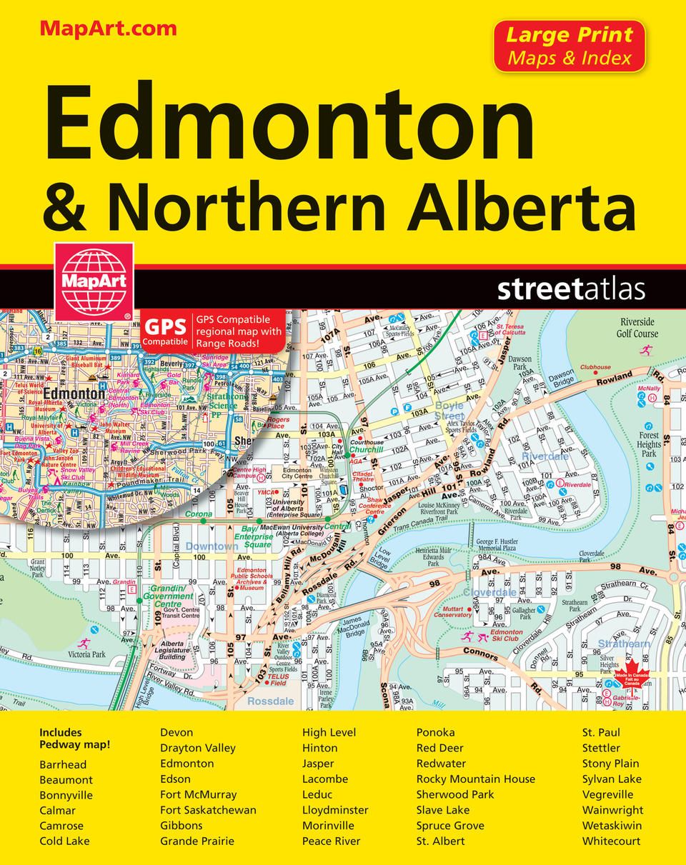
Inside this 152 page atlas you will find city (1:21,000), regional (1:250,000) and provincial map (1:4,470,000), locator maps, Edmonton Pedway map, downtown Edmonton, feature listings (points of interest, airports, hospitals, golf clubs, universities and colleges), street and regional map indexes as well as an Edmonton neighbourhoods index.
City mapping includes Barrhead, Beaumont, Bonnyville, Calmar, Camrose, Cold Lake, Devon, Drayton Valley, Edmonton, Edson, Fort McMurray, Fort Saskatchewan, Gibbons, Grande Prairie, High Level, Hinton, Jasper, Lacombe, Leduc, Lloydminster, Morinville, Peace River, Ponoka, Red Deer, Redwater, Rocky Mountain House, Sherwood Park, Slave Lake, Spruce Grove, St. Albert, St. Paul, Stettler, Stony Plain, Sylvan Lake, Vegreville, Wainwright, Wetaskiwin and Whitecourt.
The detailed city map features include divided highways, major roads, secondary roads, main thoroughfares, minor streets, lanes / private streets, interchange numbers, one way streets, street address numbers, trans-canada highway—yellowhead route, railways, VIA Rail stations, LRT stations, bus stations, municipal boundaries, recreation trails, parks / conservation areas, golf courses, commercial areas, cemeteries, institutional areas, industrial areas, special attraction areas, Indian reserves, National Defence, hospitals, tourist information centres, police stations, fire halls, libraries, points of interest, arenas, community / recreation centres, pools, baseball, soccer, tennis, skiing, campgrounds, public and catholic schools.
The detailed regional maps include many features such as highways to seasonal roads, Range roads, airports, hospitals, tourist information centres, rest areas, skiing, mountain biking, golf, national parks, provincial parks, boundaries, points of interest, populated places, camping and much more.
Wire-O bound
Proudly made in Canada!
22 x 28 cm (8.625 x 10.875 inches)
Provinces/Territories: Alberta


