Cantons-de-l’Est Folded Map
- Publisher
- MapArt Publishing Corporation
- Initial publish date
- May 2018
- Category
- Atlases
-
Sheet map, folded
- ISBN
- 9781554861477
- Publish Date
- May 2018
- List Price
- $5.99
Add it to your shelf
Where to buy it
Description
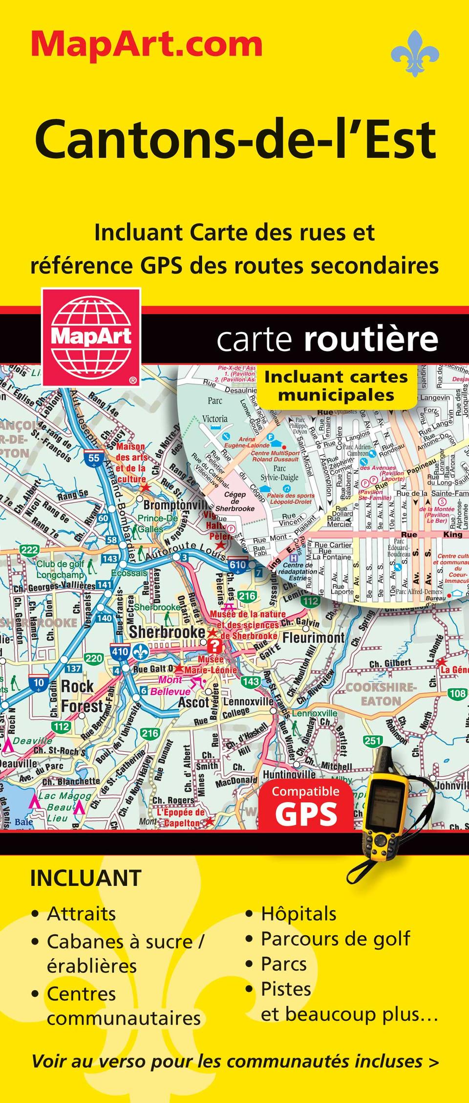
Folded maps have been the trusted standard for years, offering unbeatable accuracy and reliability at a great price. Detailed indices make for quick and easy location of destinations. It’s a must-have for anyone travelling, working and living in this area of Québec province. The folded map of Cantons-de-l’Est includes detailed city maps at 1:32,000 of Drummondville, Granby, Sherbrooke, Thetford Mines, Victoriaville, street indexes of each community, city map legend, a regional map at 1:230,000, community index and regional map legend. Proudly made in Canada!
Folded: 10.2 x 23.5 cm (4 x 9.25 inches) Unfolded: 68.6 x 99.7 cm (27 x 39.25 inches)
Provinces/Territories: Quebec


