Description
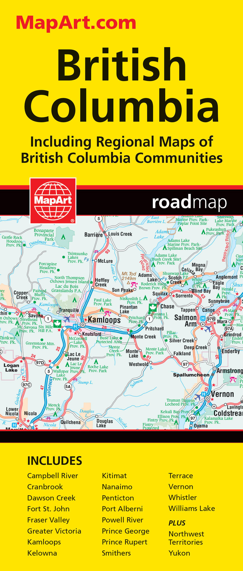
MapArt folded maps have been the trusted standard for years, offering unbeatable accuracy and reliability at a great price. Detailed indices make for quick and easy location of destinations. It’s a must-have for anyone travelling, working or living in British Columbia. The folded map of British Columbia includes provincial mapping of British Columbia at 1:1,500,000, a territories map of Yukon, Northwest Territories and Nunavut at 1:5,000,000, regional map of the Fraser Valley at 1:375,000, municipal maps of Campbell River (1:75,000), Cranbrook (1:75,000), Dawson Creek (1:50,000), Fort St. John (1:60,000), Fraser Valley, Greater Victoria (1:250,000), Kamloops (1:75,000), Kelowna (1:75,000), Kitimat (1:50,000), Nanaimo (1:75,000), Penticton (1:75,000), Port Alberni (1:75,000), Powell River (1:75,000), Prince George (1:60,000), Prince Rupert (1:55,000), Smithers (1:60,000), Terrace (1:60,000), Vernon (1:75,000), Whistler (1:75,000), Williams Lake (1:75,000) and ferry listings. The provincial map features include the Trans-Canada highway, divided highways/interchanges, paved and loose surface major roads, paved and loose surface secondary roads, paved and loose surface other roads, unimproved/forestry roads, seasonal roads, ferries, distance between points (km), international boundaries, provincial boundaries, time zones, airports, customs offices, tourist information centres, hospitals, spot elevations, national parks/historic sites, provincial parks/recreation areas, wilderness/protected areas, forest reserves, icefields, campgrounds, downhill skiing, picnic sites, populated places, provincial capitals and Indian reserves. Proudly made in Canada!
Folded: 10.2 x 23.5 cm (4 x 9.25 inches) Unfolded: 68.6 x 99.7 cm (27 x 39.25 inches)
Provinces/Territories: British Columbia


