Brampton Folded Map
- Publisher
- MapArt Publishing Corporation
- Initial publish date
- May 2019
- Category
- Atlases
-
Sheet map, folded
- ISBN
- 9781554861309
- Publish Date
- May 2019
- List Price
- $5.95
Add it to your shelf
Where to buy it
Description
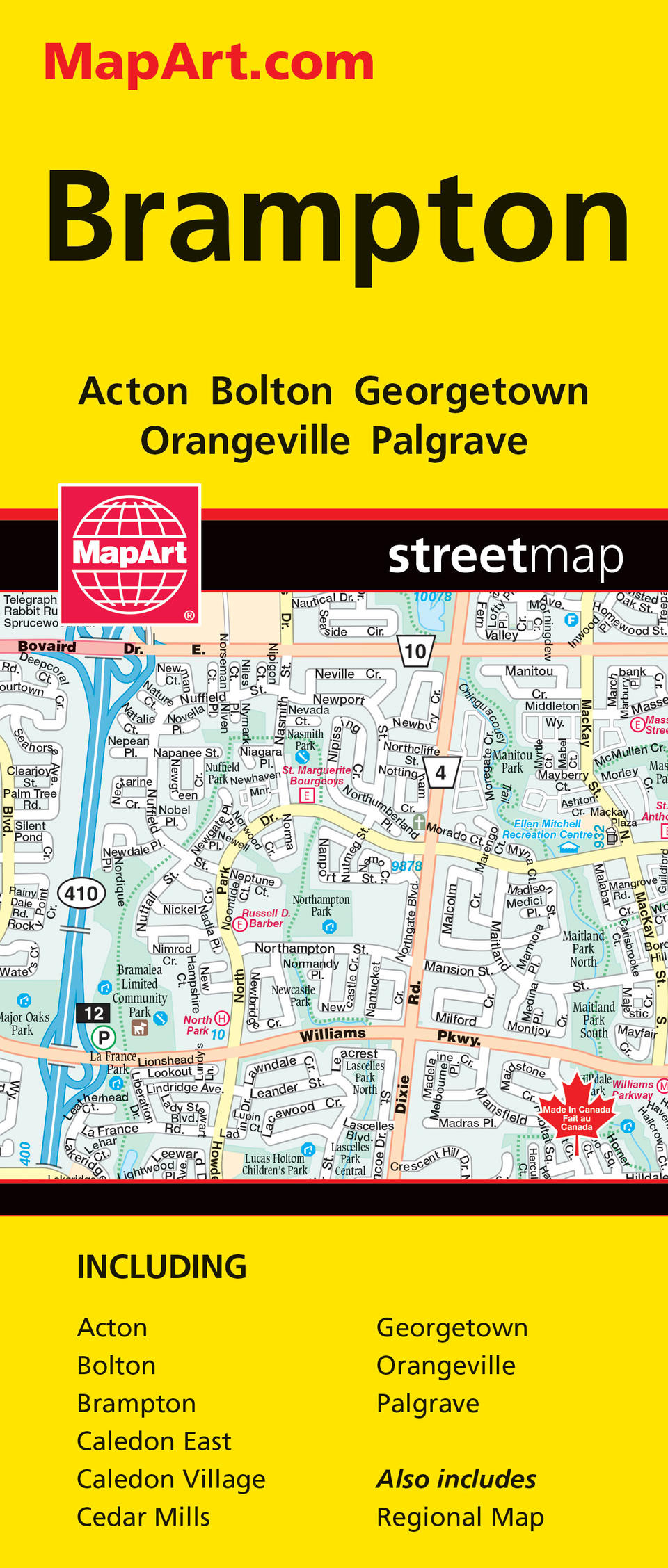
MapArt folded maps have been the trusted standard for years, offering unbeatable accuracy and reliability at a great price. Detailed indices make for quick and easy location of destinations. It’s a must-have for anyone travelling, working or living in the Brampton area. Includes city mapping at 1:25,000 of Acton, Bolton, Brampton, Caledon East, Caledon Village, Cedar Mills, Georgetown, Orangeville and Palgrave, street indexes, legend and a regional map at 1:250,000. City map features include divided highways, divided toll highways, major roads, secondary roads, main thoroughfares, minor streets, lane / private streets, interchange numbers, one way streets, street address numbers, railways, VIA Rail stations, GO Train stations, bus stations, carpool parking, municipal boundaries, recreation trails, parks / conservation areas, golf courses, commercial areas, cemeteries, institutional areas, industrial areas, special attraction areas, hospitals, tourist information centres, police stations, fire halls, municipal / regional buildings, courthouses, libraries, points of interest, off leash dog parks, beer stores, liquore stores, arenas, community / recreation centres, pools, baseball, soccer, tennis, campgrounds, skiing, public and catholic schools. Proudly made in Canada!
Folded: 10.2 x 23.5 cm (4 x 9.25 inches) Unfolded: 68.6 x 99.7 cm (27 x 39.25 inches)
Provinces/Territories: Ontario


