Description
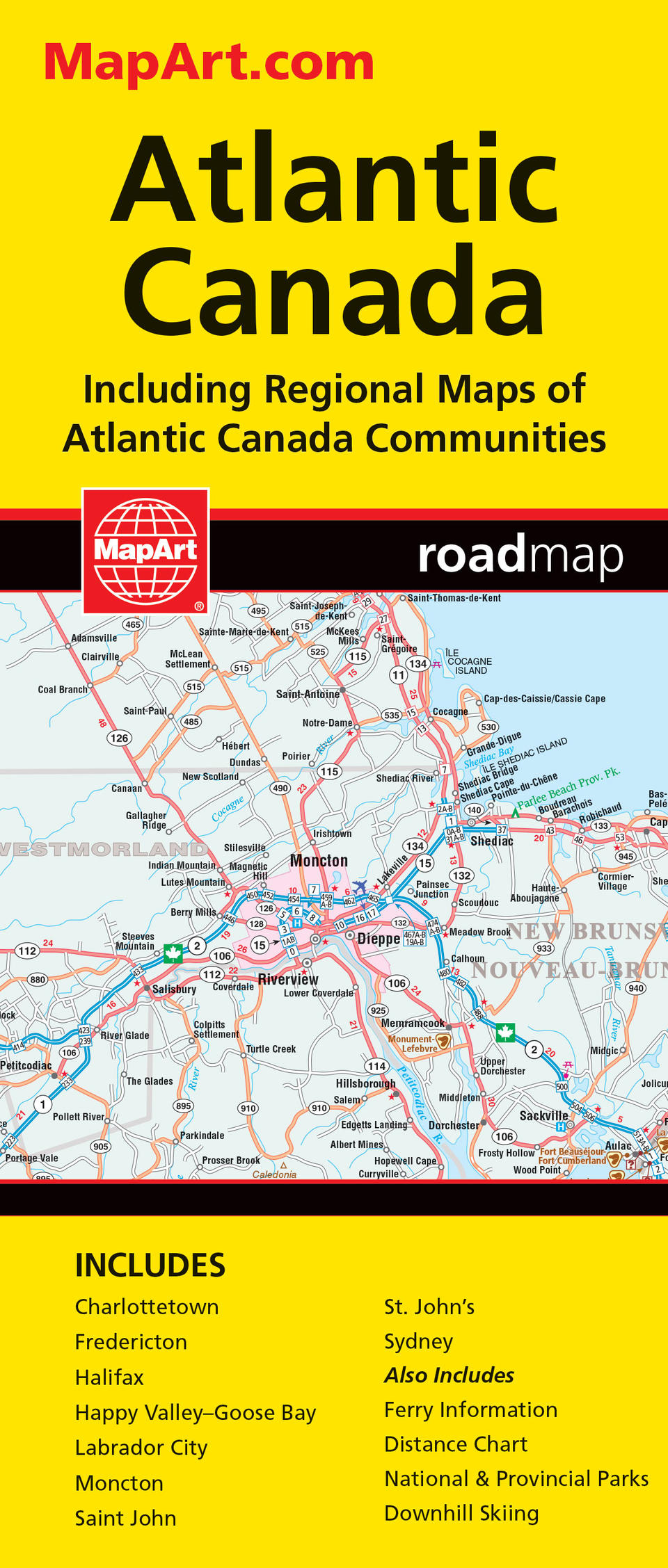
MapArt folded maps have been the trusted standard for years, offering unbeatable accuracy and reliability at a great price. Detailed indices make for quick and easy location of destinations. It’s a must-have for anyone travelling in Atlantic Canada. The Atlantic Canada folded map includes provincial maps of Newfoundland (1:1,400,000), Atlantic Canada (New Brunswick, Nova Scotia, Prince Edward Island, Gaspé Peninsula) at 1:800,000, Eastern Canada (1:4,500,000). Regional maps included are Charlottetown (1:90,000), Fredericton (1:100,000), Halifax (1:250,000), Happy Valley (1:52,000), Goose Bay (1:52,000), Labrador City (1:40,000), Moncton (1:100,000), Saint John (1:140,000), St. John’s (1:55,000), Sydney (1:100,000) as well as ferry Information and a distance chart. Provincial map features include multi-lane highways, toll highways, Trans-Canada highway, highways, secondary highways, local roads, unpaved roads, unimproved roads, ferries, accumulated distances, airports, border crossings, hospitals, populations, capitals, national parks, national historic sites, provincial parks, campgrounds, downhill skiing, wilderness reserves, visitor information centres and rest areas. Proudly made in Canada!
Folded: 10.2 x 23.5 cm (4 x 9.25 inches) Unfolded: 68.6 x 99.7 cm (27 x 39.25 inches)
Provinces/Territories: New Brunswick, Nova Scotia, Prince Edward Island, Newfoundland and Labrador, Quebec


