Algonquin Park / Kawartha Haliburton Highlands Folded Map
- Publisher
- MapArt Publishing Corporation
- Initial publish date
- Jun 2019
- Category
- Atlases
-
Sheet map, folded
- ISBN
- 9781553683353
- Publish Date
- Jun 2019
- List Price
- $5.95
Add it to your shelf
Where to buy it
Description
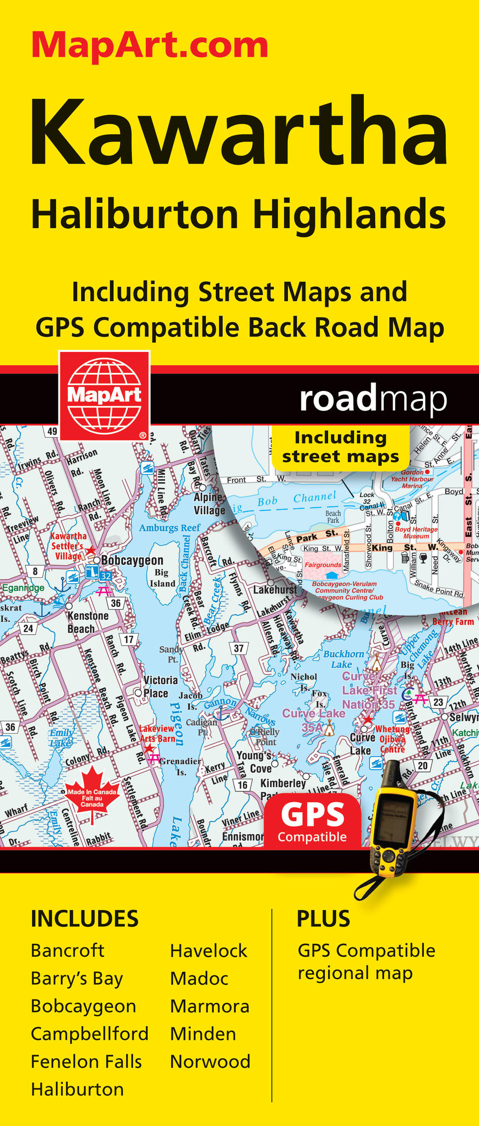
Folded maps have been the trusted standard for years, offering unbeatable accuracy and reliability at a great price. Detailed indices make for quick and easy location of destinations. It’s a must-have for anyone travelling, working or living in this area of Ontario.
The folded map of Kawartha / Algonquine Park includes detailed city mapping at 1:30,000 of Barry’s Bay, Bobcaygeon, Campbellford, Fenelon Falls, Haliburton, Havelock, Madoc, Marmora, Minden, Norwood, and city mapping at 1:25,000 of Bancroft, Haliburton and Minden, city street indexes, city map legend, a regional map at 1:250,000 as well as a regional road index, community name index and regional road legend. The detailed city maps feature major roads, secondary roads, main thoroughfares, minor streets, lanes / private streets, Trans-Canada highway, railways, bus stations, municipal boundaries, recreation trails, parks / conservation areas, golf courses, cemeteries, institutional areas, special attraction areas, hospitals, tourist information centres, police stations, fire halls, libraries, points of interest, beer stores, liquor stores, national parks / historic sites, arenas, community / recreation centres, pools, baseball, soccer, tennis, cross-country skiing, campgrounds, public and catholic schools. The regional maps feature expressways, interchanges, toll routes, primary highways, secondary highways, unpaved secondary and primary highways, paved and unpaved roads, unimproved roads, rapids, waterfalls, beaches, peaks, municipal boundaries, airports, railways, ferries, locks and lock numbers, OPP, hospitals, ON Route centres, tourist information centres, rest ares, skiing, golf courses, boat launches, marinas, points of interest, landmarks, sugar shacks, campgrounds, UNESCO World Heritage sites, National Historic sites, bird watching, viewpoints/lookouts, Trans-Canada Trail, national parks, provincial parks, protected areas, Indian reserves, National Defence, wetlands, populations and more. Proudly made in Canada!
Folded: 10.2 x 23.5 cm (4 x 9.25 inches) Unfolded: 68.6 x 99.7 cm (27 x 39.25 inches)
Provinces/Territories: Ontario


