Description
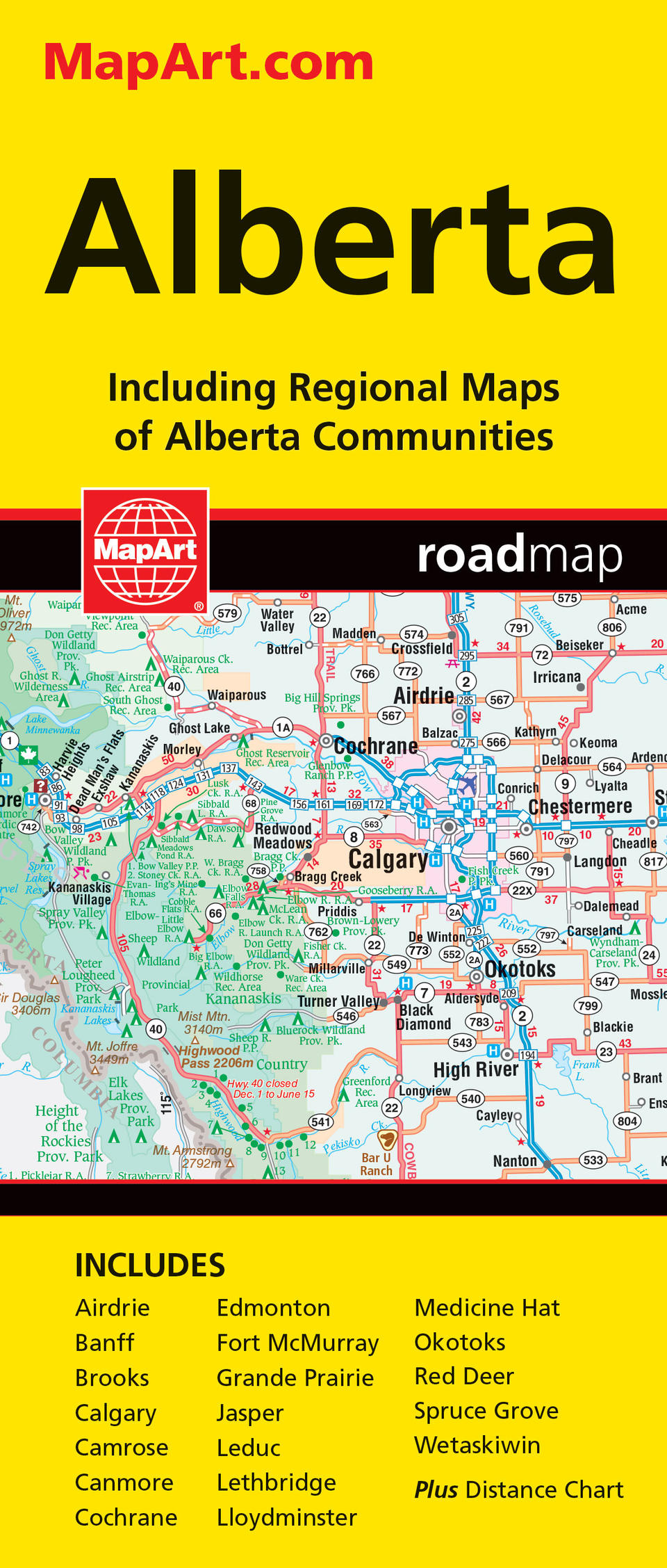
Folded maps have been the trusted standard for years, offering unbeatable accuracy and reliability at a great price. Detailed indices make for quick and easy location of destinations. It’s a must-have for anyone travelling in Alberta. The Alberta Provincal folded map includes a detailed provincial map of Alberta at 1:1,500,000. Includes regional maps at 1:50,000 of Airdrie, Banff, Brooks, Camrose, Canmore, Cochrane, Fort McMurray, Grande Prairie, Jasper, Leduc, Lethbridge, Lloydminster, Medicine Hat, Okotoks, Red Deer, Spruce Grove, Wetaskiwin as well as Calgary (1:100,000) and Edmonton (1:125,000), a distance chart, community index and map legend. The provincial map features include Trans-Canada highway, Yellowhead Route, divided highways/interchanges, paved and loose surface major roads, paved and loose surface secondary roads, paved and loose surface other roads, unimproved/forestry roads, seasonal roads, ferries, distance between points (km), international boundaries, provincial boundaries, time zones, airports, border crossings, tourist information centres, hospitals, spot elevations, national parks/historic sites, provincial parks/recreation areas, wilderness/protected areas, forest reserves, icefields, national defence, campgrounds, downhill skiing, picnic sites, populated places, provincial capital and Indian reserves. Proudly made in Canada!
Folded: 10.2 x 23.5 cm (4 x 9.25 inches) Unfolded: 68.6 x 99.7 cm (27 x 39.25 inches)
Provinces/Territories: Alberta


