Southwestern British Columbia Road & Recreational Atlas
- Publisher
- PTC Phototype Composing Ltd.
- Initial publish date
- May 2004
- Category
- Atlases, Western Provinces
-
Paperback / softback
- ISBN
- 9780968077252
- Publish Date
- May 2004
- List Price
- $22.95
Add it to your shelf
Where to buy it
Description
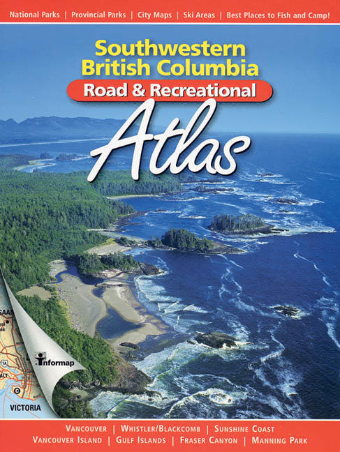
On the heels of the best-selling British Columbia Road & Recreational Atlas comes the Southwestern British Columbia Road & Recreational Atlas. This new atlas covers all of Vancouver Island and the Lower Mainland north to Lillooet and east to Princeton. The scale of the maps is three times greater, allowing for much finer detail. The Atlas includes: 48 maps at scale 1:200,000; city-core maps of Vancouver, Victoria, Nanaimo, Courtenay, Comox Campbell River, Powell River, and Whistler; ferry routes and access points; major ski areas with supplemental information; wildlife-viewing highlights; wildlife-management unit boundaries; reference index of 3,000 topographic features.
To ensure accuracy, this atlas was compiled in collaboration with BC Parks, Parks Canada, Freshwater Fisheries Society of BC, BC Ferries and BC Forest Service.

