Montérégie Ouest Folded Map
- Publisher
- MapArt Publishing Corporation
- Initial publish date
- Jan 2015
- Category
- Atlases
-
Sheet map, folded
- ISBN
- 9781554861118
- Publish Date
- Jan 2015
- List Price
- $5.95
Add it to your shelf
Where to buy it
Description
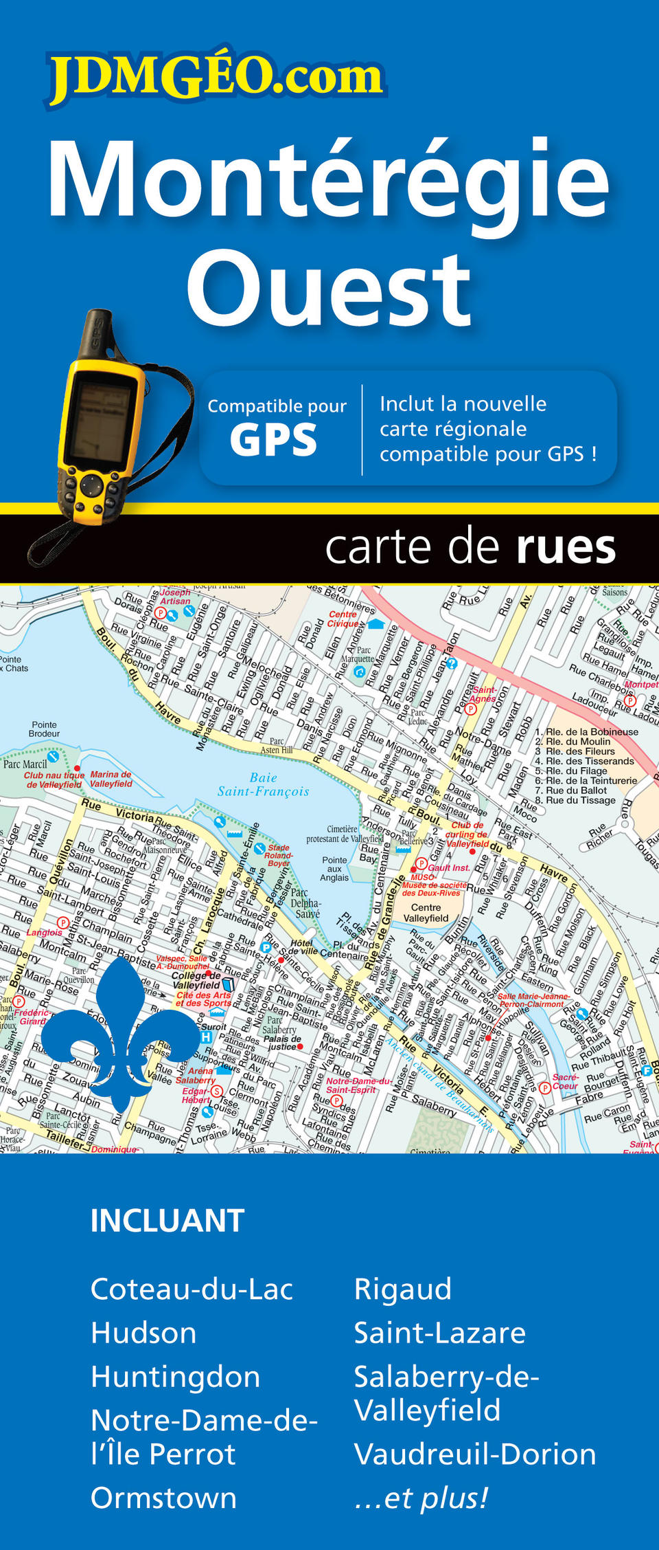
Folded maps have been the trusted standard for years, offering unbeatable accuracy and reliability at a great price. Detailed indices make for quick and easy location of destinations. The folded map of Montérégie Ouest contains detailed city mapping of the Montérégie Ouest area (Beauharnois, Coteau-du-Lac, L’Île-Perrot, Les Cédres, Les Coteaux, Notre-Dame-de-l’Île Perrot, Pincourt, Rivière-Beaudette, Saint-Zotique, Sainte-Anne-de-Bellevue, Salaberry-de-Valleyfield, Senneville, Terrasse-Vaudreuil, Vaudreuil-Dorion, Vaudreuil-sur-le-Lac) at 1:29,800, Saint-Lazare (1:29,800), Saint-Clet (1:25,000), Saint-Polycarpe (1:25,000), Ormstown (1:25,000), Rigaud (1:25,000), Huntingdon (1:25,000), Saint-Chrysostome (1:25,000), a city map legend and street index. Also included is a regional back roads map at 1:250,000, regional map legend and road name index. Proudly made in Canada!
Folded: 10.2 x 23.5 cm (4 x 9.25 inches) Unfolded: 68.6 x 99.7 cm (27 x 39.25 inches)
Provinces/Territories: Quebec