History Post-confederation (1867-)
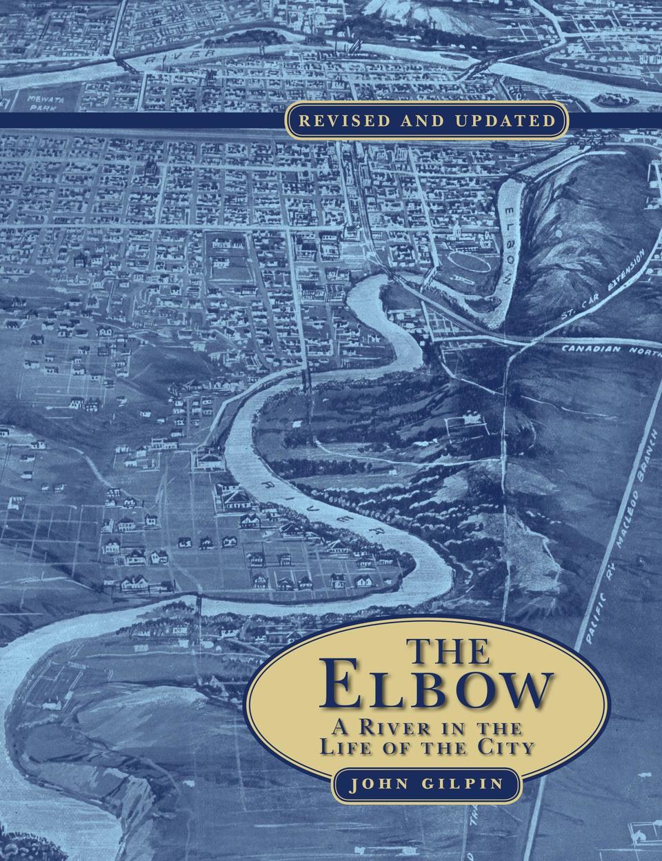
The Elbow
A River in the Life of the City
- Publisher
- Brush Education
- Initial publish date
- Aug 2017
- Category
- Post-Confederation (1867-), Historical Geography
-
Paperback / softback
- ISBN
- 9781550597202
- Publish Date
- Aug 2017
- List Price
- $19.95
-
eBook
- ISBN
- 9781550597233
- Publish Date
- Aug 2017
- List Price
- $11.99
Add it to your shelf
Where to buy it
Description
Experience Calgary's history through the story of its "other" river. In this revised and updated edition, John Gilpin delivers the definitive history of the Elbow River and the vital role it has always played in the lives of Calgarians. Drawing upon a rich archive of historical documents, photos, and maps, Gilpin takes readers on a sweeping journey through Calgary's past, from the founding of Fort Calgary to the creation of the Glenmore Reservoir, which unlocked the city's potential for growth.
Along the way, you'll meet many of the mavericks who shaped the Calgary we know today, and you'll discover the Elbow's outsized role in the city's growth. The Elbow River was the axis of Calgary's early development, and the battleground for its early feuds. Gilpin concludes by bringing the floods of 2013 into historical context, reminding us that Calgary has always had a complicated relationship with the Elbow as both a benefactor and a threat.
About the author
A Calgary-based historian and writer, John Gilpin has a BA and an MA in history from the University of Alberta and a PhD in economic history from the University of Leicester, England. His interests include the settlement of western Canada, with a particular emphasis on transportation, water resources, and urban development.
Excerpt: The Elbow: A River in the Life of the City (by (author) John Gilpin)
Introduction
The genesis of this book was the suggestion from Gerry Stotts that the 75th anniversary of the construction of the Glenmore Waterworks be celebrated. Investigating the use of the Elbow River as a supply of water for the growing city of Calgary indicated that Calgary's association with the Elbow went well beyond a dam. The result was a journey both in place and time starting at the confluence of the Bow and Elbow Rivers, where Calgary was founded in 1875 with the arrival of the North-West Mounted Police, and extending upstream to that part of the Elbow that became the site for the Glenmore Dam and Reservoir after 1932.
The Elbow River was the axis along which settlement developed at Fort Calgary from 1875 to 1884. Bridging the Elbow River was the cause of conflict between the new town of Calgary built around the Canadian Pacific Railway station and the Catholic mission when it was feared that Father Albert Lacombe might be developing a rival townsite. Later, the Elbow River separated two business groups that periodically fought for control of the economic destiny of the Calgary townsite, and an economic recovery plan in the mid-1890s was based in part on using Elbow River water for irrigation. Greater Calgary, first proposed in 1906 and fully achieved after World War II, depended on the water of the Elbow.
Besides being an economic asset to the community, the river was used for recreation, its water providing Calgarians with venues for skating in winter and swimming in summer. Upon completion of the Glenmore Dam in 1932, skating disappeared. After a break of 30 years, limited use of the Glenmore Reservoir began for activities such as sailing, which minimized human contact with the water. Drifting down the Elbow River from the Glenmore Dam remains a popular summer activity.
Calgary's association with the Elbow is but an instant in this river's natural history. University of Alberta geologist Dr. John Allan concluded in 1943 that in preglacial times, 2.5 million years ago, the Bow River followed a course south of Cochrane through Glenbow Flats and along what is now the channel of the Elbow River to the present location of the Glenmore Reservoir, and then south through Haysboro to Midnapore and De Winton. The Elbow River, at this time, joined the Bow considerably west and south of its present location and north of the lands of the Tsuu T'ina First Nation.
In 1961, Peter Meyboom of the Alberta Research Council incorporated Allan's conclusions regarding the preglacial location of the Bow and Elbow Rivers into a description of their postglacial development. He suggested that the present Elbow Valley above the Glenmore Reservoir and the former river channel between the Glenmore Reservoir and Chinook Centre shopping mall could be considered surviving elements of the preglacial drainage system. Other features of the landscape were the result of the creation and drainage of glacial Lake Calgary in postglacial times approximately 12,000 years ago. Lake Calgary was the result of the retreat of the Balzac, Crossfield, and Morley glaciers. As the lake drained, the Bow River channel shifted northeast via a series of meltwater channels, which Allan described in some detail. These changes created the "elbow" on the Bow River at the Pearce estate and the elbow on the Elbow River where the Glenmore Reservoir is today. Allan identified four abandoned channels and suggested the sequence of their abandonment. He explained the changes in the direction of both the Elbow and Bow Rivers by "stream captures" rather than because of deflections caused by an ice barrier created by a retreating glacier.
The work of Allan, Meyboom, and others in the 1960s was brought together along with new research by Michael Wilson in his 1985 thesis entitled "Once Upon a River." He disagreed with both Allan and Meyboom with respect to the preglacial location of the Bow Valley, which he suggested flowed due east from Calgary, with portions of the old valley serving as the present-day channel for the Red Deer River from Dinosaur Provincial Park to beyond the Alberta-Saskatchewan border. He retained the idea that a series of meltwater channels had developed, with the existing Elbow River between the Glenmore Dam and its confluence with the Bow River being one of those channels. The reach of the Elbow River between the Glenmore Dam and its confluence with the Bow River thus was originally created by water flowing south from Lake Calgary. The flow was later reversed when a massive influx of water from melting glaciers to the west of Calgary was carried northeast, altering the course of the Bow River to the south. The melting of the glaciers in the Calgary area thus located the Elbow Valley where it is today between Weaselhead Flats and the Elbow River's confluence with the Bow, giving it a distinctive geological history compared to the rest of the Elbow River system.
During the Holocene Epoch, which covers the last 10,000 years in geological time, Lake Calgary dried up and the flows of water from the glaciers, which had retreated to the mountains, were reduced. As a result, the Elbow Valley was occupied by a much smaller river that could not change the location of the valley but could significantly modify the valley floor. Up until the 1880s, the Elbow River meandered through the valley, creating a series of oxbow lakes that in some cases played a role in the area's human history. The newest oxbow lake is located in the Weaselhead area, while the present-day Heritage Park Marina, Stanley Park, and Roxboro Park were the locations of much older oxbow lakes that have disappeared as a result of human settlement of the Elbow Valley.
Periodic floods referred to as "freshets," from the French word freschete or frais, meaning "fresh," are also a feature of the Elbow River's natural history. At various times, these events transformed the river from a community benefactor into a raging menace. On one of these occasions, the river was described as a predator in search of people to drown and buildings to submerge. The lesser evil of the annual spring floods was reduced water quality from the end of May to early July. During those times, the large quantity of suspended solids gave the water a cloudy appearance and made it unpleasant to drink.
Early surveyors noted the great fluctuations in the flow of the Elbow River. C. M. Walker, Dominion land surveyor, in a report on township 21, range 6, noted that on May 27, 1911, "there was no flow in the main branch of the river and that three days afterward, when the snow began to melt, the horses in trying to ford the stream were swept off their feet and carried 50 yards [45 metres] downstream; also that a rise of two feet [0.6 metres] in the water in six hours is not unusual."
In its various incarnations, the Elbow River has evoked fear, respect, indifference, pleasure, frustration, appreciation, and distaste while being drank, swam in, skated upon, avoided, polluted, floated upon, and crossed.
